Mahakal Hike Adventure
Pin Parvati Pass Trek
A high-altitude crossing between valleys
Duration
11–12 days / 10–11 nights
Altitude
5,319 m / 17,457 ft
Difficulty
Very Hard
Season
Mid-July – Mid-September
Distance
110 km on foot
Start
Barshaini, Parvati Valley
End
Mudh Village, Pin Valley (Spiti)
Overview
About This Trek
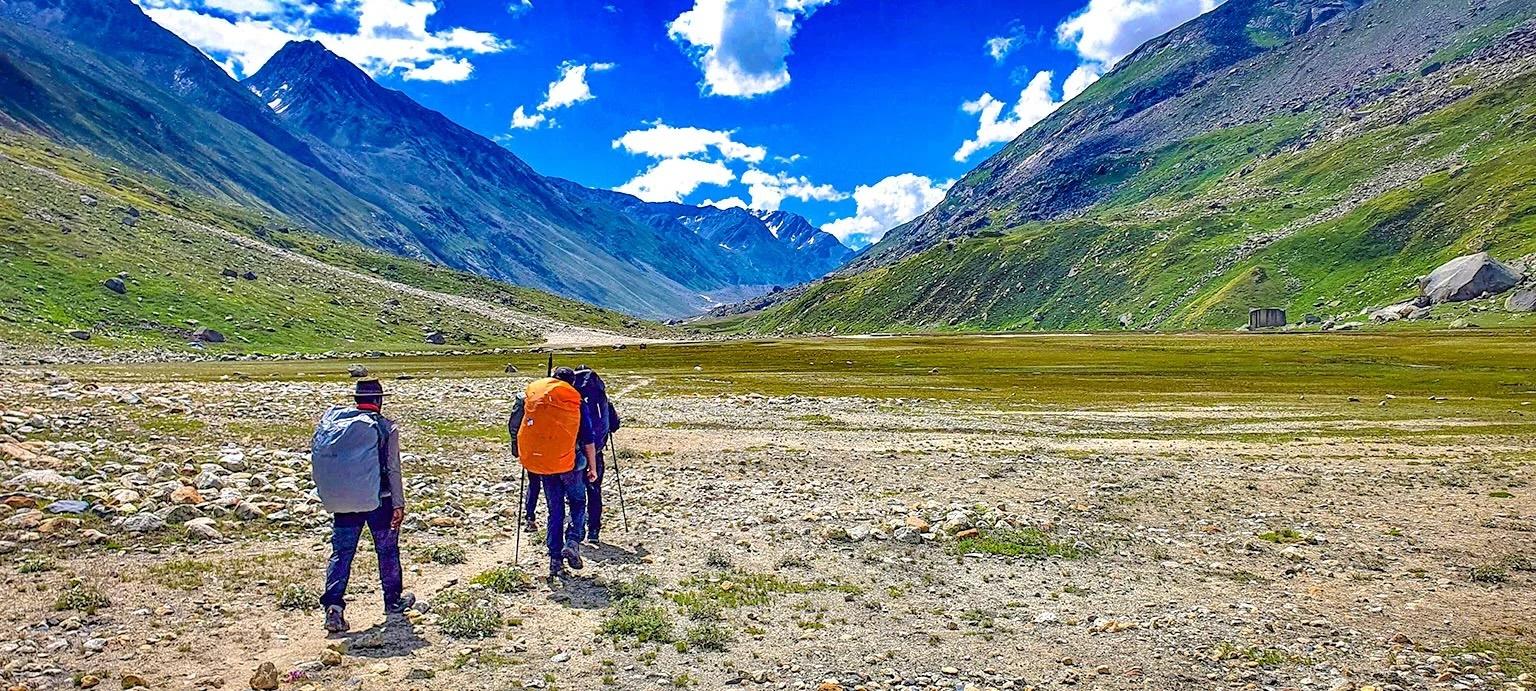
The Pin Parvati Pass is one of the great Himalayan crossings — connecting two completely different worlds. You begin in the lush, green Parvati Valley with its forests and rivers, and over 10 days you climb through alpine meadows, glaciers, and moraines to cross the pass at 5,319 m. On the other side, the landscape transforms entirely into the dry, barren mountains of Spiti's Pin Valley. The trek passes Mantalai Lake, the sacred source of the Parvati River, and ends at Mudh, the last village in the Pin Valley. This is not a beginner trek — it requires previous high-altitude experience, strong fitness, and mental preparation for river crossings, glacier travel, and unpredictable weather.
Ask About This TrekWhy This Trek
Highlights
The Journey
Day by Day
Day 1
Barshaini to Kheerganga
10 km · 1,700 m → 2,810 m
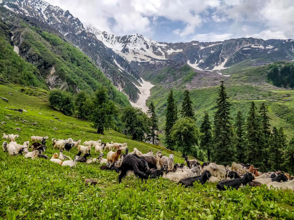
Trek from Barshaini through thick woodland and cross the Parvati River bridge. Gradual ascent through mixed forests to reach Kheerganga and its hot springs.
Day 2
Kheerganga to Tunda Bhuj
13 km · 2,810 m → 3,333 m
Steady climb through meadowland with stream crossings and views opening up across the Parvati Valley. The forest thins as you gain altitude.
Day 3
Tunda Bhuj to Thakur Kuan
11 km · 3,333 m → 3,570 m
Trek through mixed jungle with wildflowers, crossing bridges and reaching high-altitude pastureland at Thakur Kuan.
Day 4
Thakur Kuan to Odi Thatch
9 km · 3,570 m → 3,620 m
A relatively easier day with moderate terrain and stream crossings, including the challenging Pandu Bridge crossing over the river.
Day 5
Odi Thatch to Mantalai Lake
12 km · 3,620 m → 4,100 m
Muddy, slippery terrain through moraine areas. Steep ascent to reach Mantalai Lake, the sacred source of the Parvati River. A small temple sits by the lake.
Day 6
Rest and Acclimatisation at Mantalai Lake
4,100 m
A full rest day at Mantalai Lake to acclimatise before the high-altitude push. Explore the lake and its surroundings, or simply rest.
Day 7
Mantalai Lake to Pin Parvati Pass Base Camp
11 km · 4,100 m → 4,940 m
Cross the river and navigate rocky areas and glaciers. A long and challenging climb through increasingly barren terrain to reach the base camp below the pass.
Day 8
Base Camp to Pin Parvati Pass to Descent Camp
15 km · 4,940 m → 5,319 m → 4,800 m
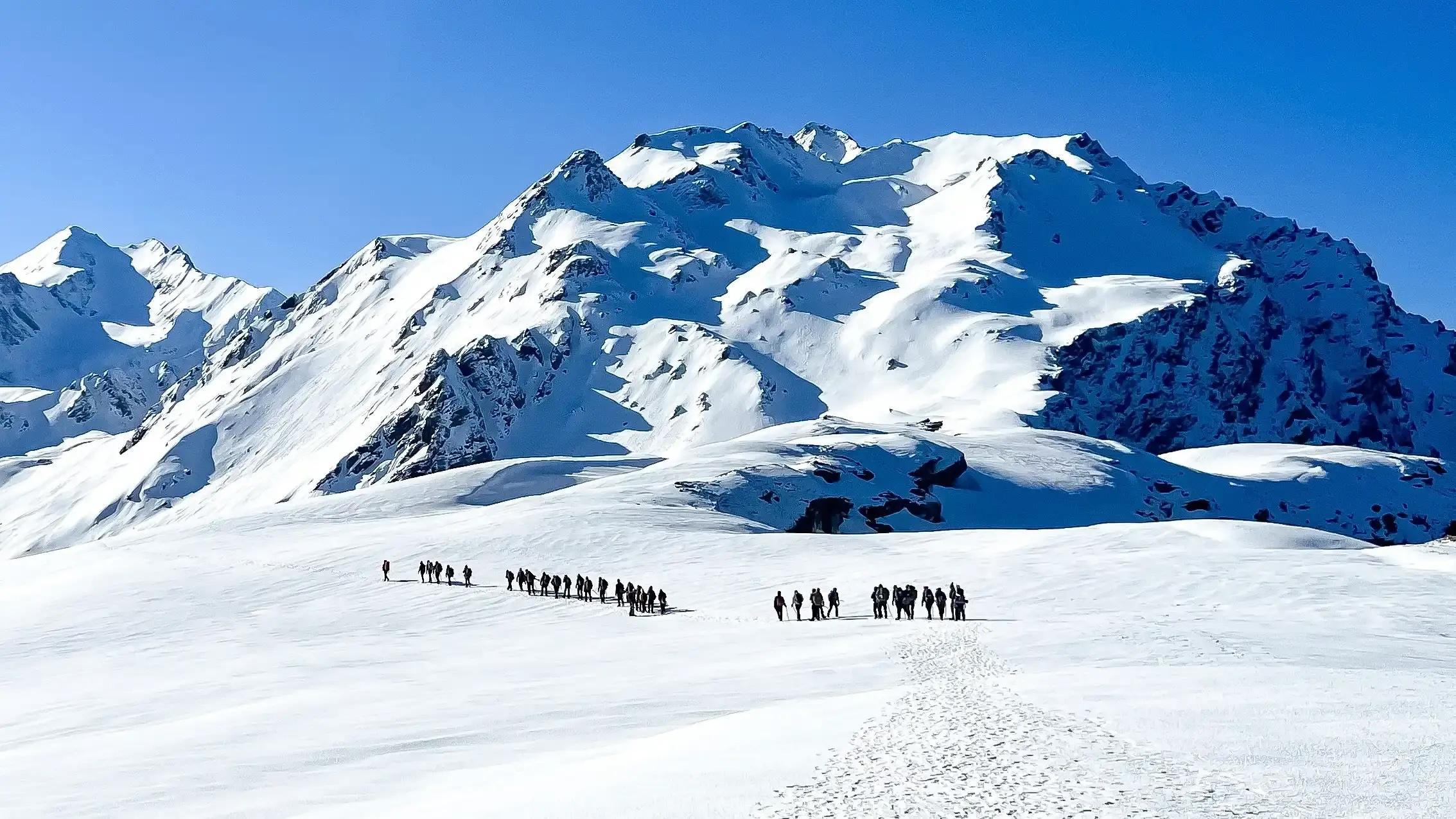
Summit day. Climb through glacier and rock for three hours to reach Pin Parvati Pass at 5,319 m. Traverse ice fields and descend steeply on the Spiti side to the descent camp.
Day 9
Descent Camp to Tiya
12 km · 4,800 m → 3,970 m
Gradual descent through the barren, dramatic landscape of the Pin Valley, surrounded by tall mountains on both sides. The contrast with the green Parvati side is striking.
Day 10
Tiya to Mudh Village
12 km · 3,970 m → 3,500 m
A flat walk along the road to Mudh, the last village in the Pin Valley. The trek ends here. From Mudh, you can arrange transport to Kaza and onward to Manali.
What's Included
Your Trek Includes
Not Included
Arrange on Your Own
Be Prepared
What to Carry
When to Go
Best Time
Late July to mid-August is the best window — the snow at higher altitudes has melted enough to make the pass accessible, but the weather can still be unpredictable. September is drier but colder at altitude.
Are You Ready
Fitness Level
This trek requires previous high-altitude trekking experience (above 4,000 m). You should be able to run 5 km in 30 minutes and trek 8–10 hours a day with a heavy pack. Start training at least 8 weeks before — include running, stair climbing, and strength work. Altitude acclimatisation is critical.
Getting There
How to Reach
The trek starts from Barshaini in the Parvati Valley. The nearest airport is Bhuntar (Kullu), about 65 km away. Overnight buses from Delhi reach Bhuntar or Kasol in 12–14 hours. From Kasol, Barshaini is a 30-minute drive. The trek ends in Mudh Village in Spiti — from there, it's a 5–6 hour drive via Kaza back to Manali.
Ready for Pin Parvati Pass Trek?
Get in touch on WhatsApp to check availability and book your spot.
WhatsApp Mahakal Hike Adventure